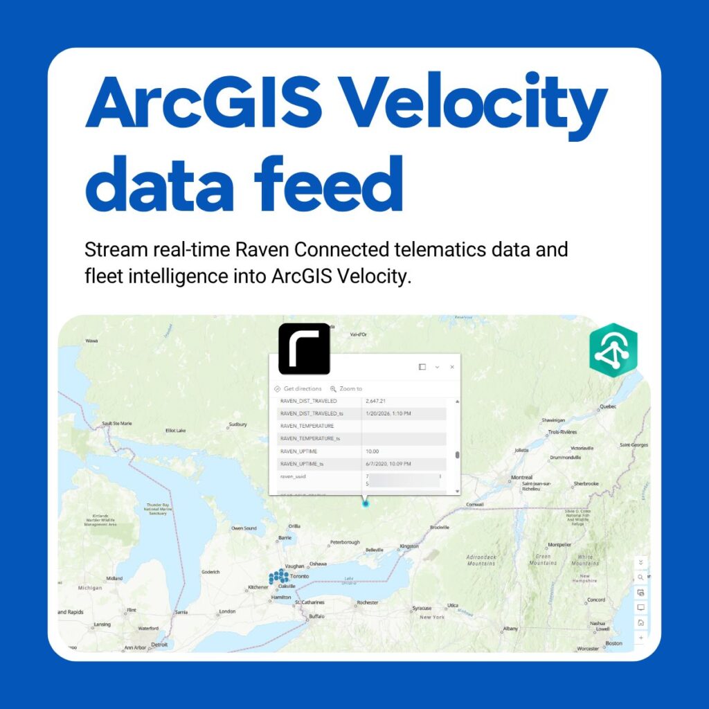
Raven Connected, the real-time fleet, roadway, and work zone intelligence provider, is now integrated with ArcGIS Velocity, part of Esri’s ArcGIS platform. Esri is the dominant player in geographic information systems (GIS), with its software used by the vast majority of federal, state, and local government agencies, as well as major enterprises across utilities, transportation, and logistics. As of Esri’s June 2026 release, mutual customers can stream Raven’s telematics — live vehicle positions, abnormal behavior, sudden stops, and video-based incident context — directly into the GIS workflows and dashboards their teams already use.
The integration brings added visual and spatial context to existing Esri environments, giving fleet and roadway teams a clearer picture of incidents as they happen.